


2334 E 15th Street
About this home
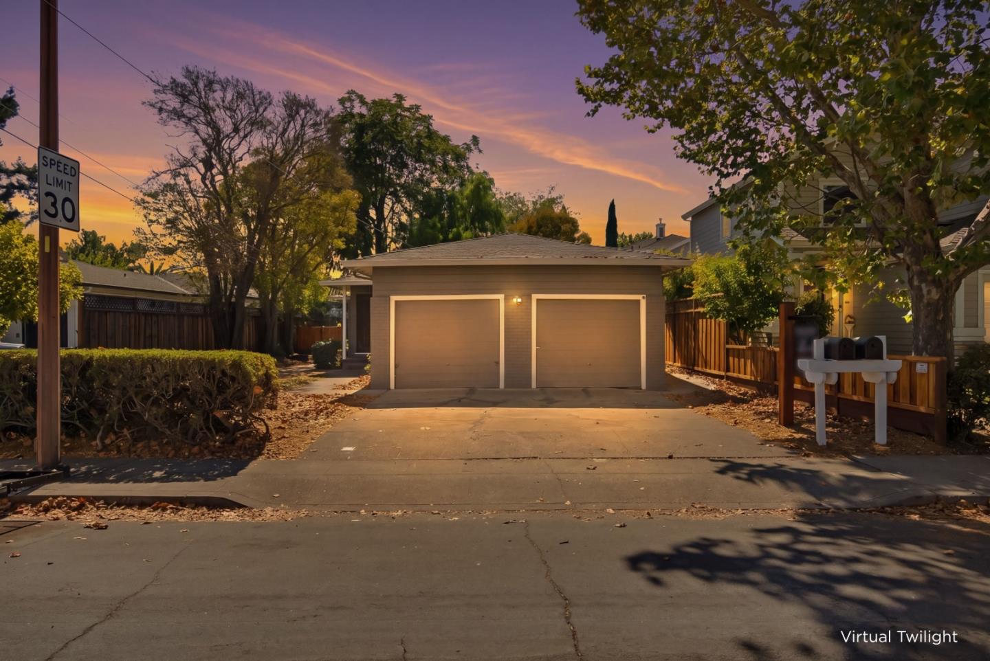
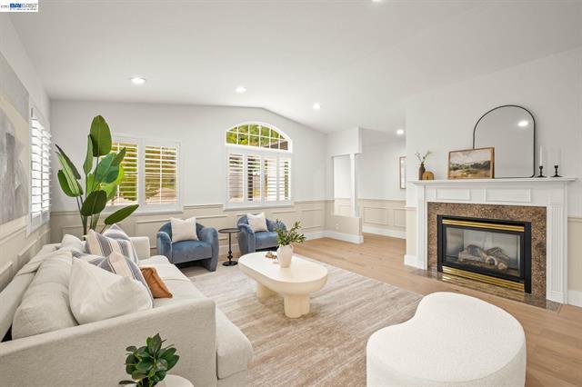
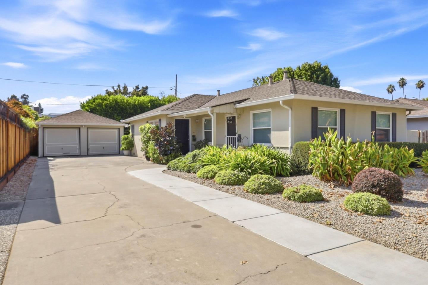
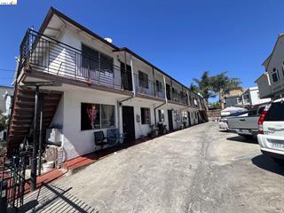
Fully occupied big 8 units complex with 8 kitchens, 8 bathrooms and 8 parking spaces inside the iron fenced ground area! Fully rented, #1 $1300. #2 $773. #3 1300. #4 $657. #5734. #6$817. #7$1300. #8 $1195. Total rent is $8076 per month, $96,912 per year!
Description as published by the listing brokerage.
Every detail on record
- Flooring
- Other
- Roof
- Other
- Garage/Parking
- Parking Area, Garage: Car(s)
- Complex Amenities
- Other
- # Total Units
- 8
All 5 fields exactly as the listing brokerage published them to the MLS — nothing inferred or filled in. Blank fields mean the brokerage did not report them; ask and Adriana will find out.
What it costs to own
What's around this home
Within about a mile of the front door: 12 groceries, 39 places to eat, 14 parks.
- El Ranchito Market<0.1 mi
- Supermercado Mi Pueblo0.4 mi
- Mi Carnal Market0.4 mi
- Los Hermanos0.6 mi
- El Charro Supermarket0.6 mi
- Puerto Rican Street Cuisine<0.1 mi
- Philly's Cheese Steaks0.1 mi
- Pho Thang Long0.2 mi
- Tacos Sinaloa0.2 mi
- Garfield Park0.1 mi
- Kennedy Tract Park0.4 mi
- Josie de la Cruz Park0.5 mi
- San Antonio Park0.6 mi
- Lazear Mini Park0.6 mi
- Garfield Neurobehavioral Center0.3 mi
- Native American Health Center0.5 mi
- Fruitvale Healthcare Center0.5 mi
- La Clinica0.6 mi
- Walgreens0.7 mi
Getting around
- FruitvaleBART0.8 mi
Schools
- Garfield Elementary School0.2 mi
- Community School for Creative Education0.2 mi
- International Community Elementary School0.4 mi
- Achieve Academy0.4 mi
- Roosevelt Middle School0.5 mi
Wildfire hazard designation
CAL FIRE does not map this parcel inside a designated Fire Hazard Severity Zone. That is an absence of state designation, not a guarantee — the seller's Natural Hazard Disclosure remains the authoritative document for this address.
Location
Market statistics and listing data courtesy of MLSListings, Inc. Information deemed reliable but not guaranteed. Properties shown are area market listings and may be listed by other brokerages. View on MLSListings ↗
Neighbourhood places and transit from OpenStreetMap contributors (ODbL). Fire hazard severity zones from CAL FIRE. Distances are straight-line from the parcel and are provided for orientation only.